
Garmin ECHOMAP Ultra 2 166sv
The ECHOMAP Ultra 2 166sv is a 16-inch combo chartplotter with built-in ClearVü and SideVü scanning sonar, a full HD 1920x1080 IPS touchscreen, and Navionics+ charts included. It handles navigation, sonar, and vessel monitoring from a single display, and it's compatible with the full LiveScope and Panoptix lineup. A capable, well-priced option for anglers who want a large screen without stepping into the GPSMAP 9000 price range.
Available with or without the GT56UHD-TM transducer. Select your preferred configuration above.
What It Does on the Water
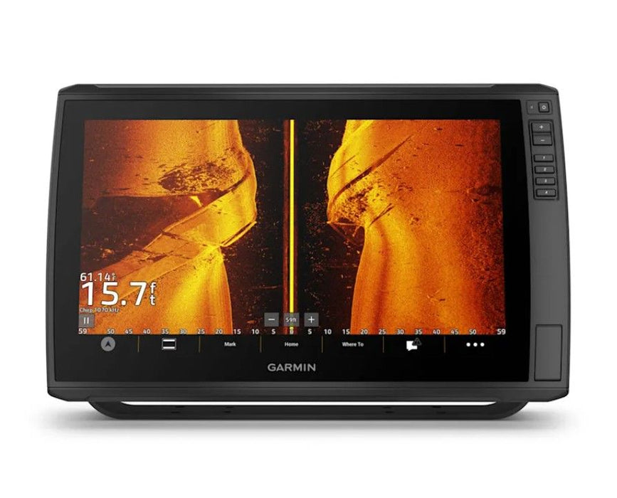
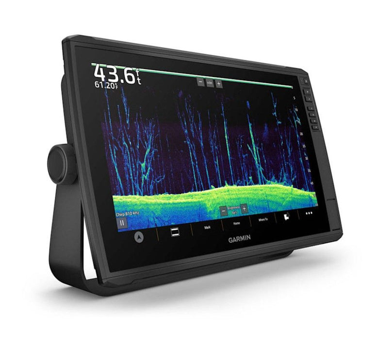
The 166sv gives you built-in ClearVü and SideVü for detailed bottom and structure imaging right out of the box. Add a LiveScope or Panoptix transducer and you get real-time live sonar on the same screen. The full HD display is bright and readable in direct sunlight, with touchscreen and keypad input so you can operate it with gloves on or in rough conditions.
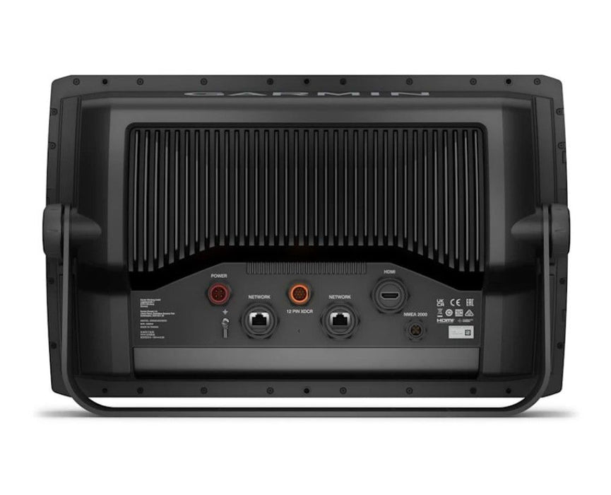
Navionics+ charts with depth shading, weed edges, and contour detail are preloaded for US and coastal Canada waters. The Garmin Marine Network connects your autopilot, radar, cameras, and other compatible devices. Wireless sharing lets you sync waypoints, routes, and sonar data across compatible units on the same network.
For walleye, musky, and bass anglers on Minnesota lakes, this is a display that handles forward sonar, side views, and down views with solid detail at a price that makes sense.
Professional Installation at Ben's Marine
Want your ECHOMAP Ultra 2 wired up and ready to fish? Our technicians handle the complete install: mounting, transducer wiring, network setup, and on-screen calibration. You drop off the boat, we build the system, you go fish.
Ben's Marine can handle:
- ECHOMAP chartplotter installation and mounting
- Transducer installation and wiring
- LiveScope and Panoptix integration
- Garmin Marine Network setup
- Software updates and on-screen calibration
Ready to order or have questions about your setup? Call or text us at (218) 820-9781. We're located in the Brainerd Lakes area and ship nationwide.
Features
Specs
What's Included
Best For
Important Notes